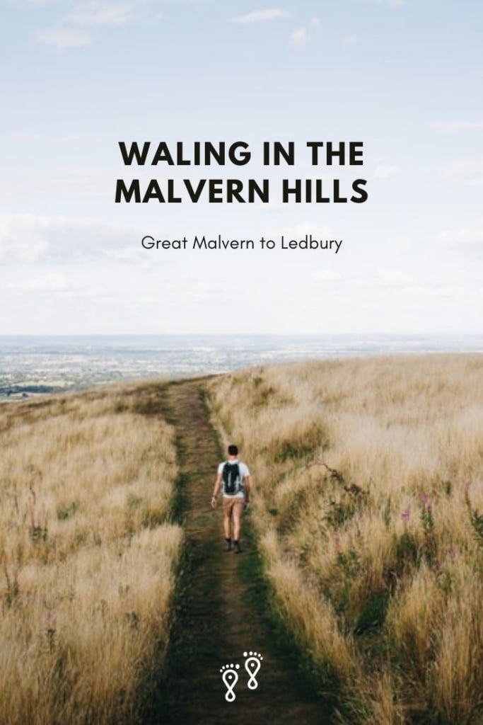
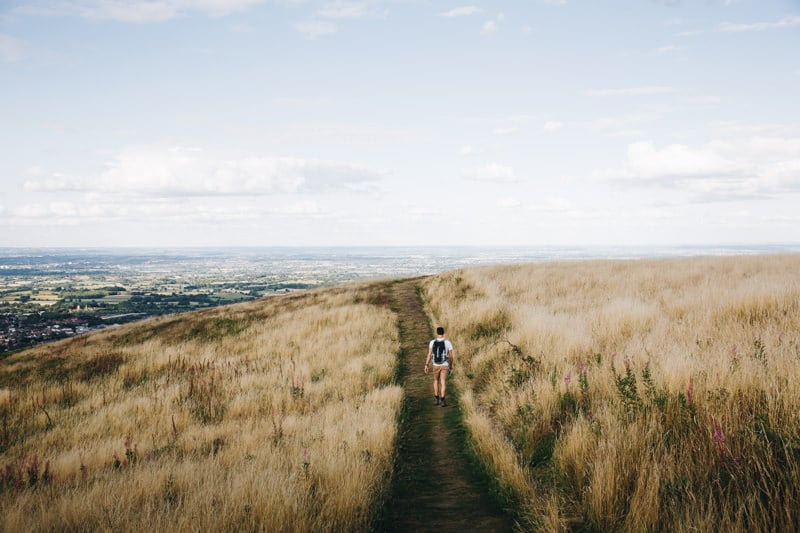
An 17-kilometre gem that traverses the entire ridge, this is our favourite of the Malvern Hills walks. Visit Eastnor Castle, spot free-roaming deer and enjoy beautiful views on the way down to the charming town of Ledbury.
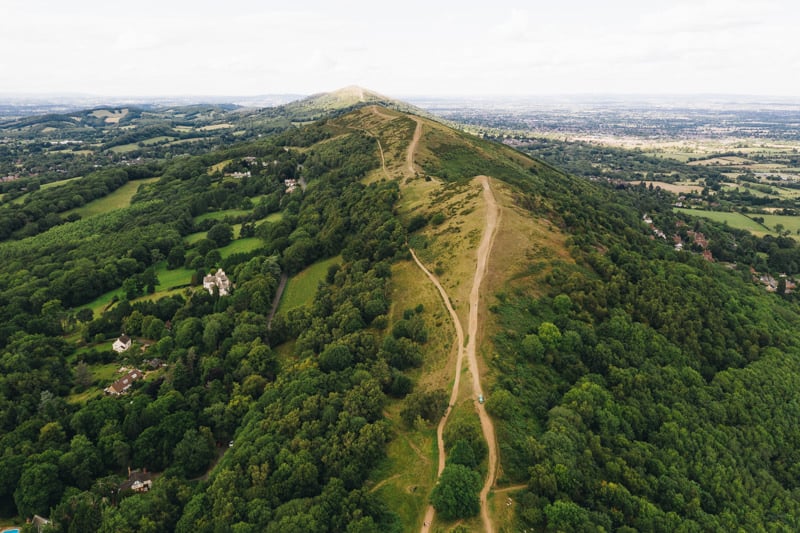
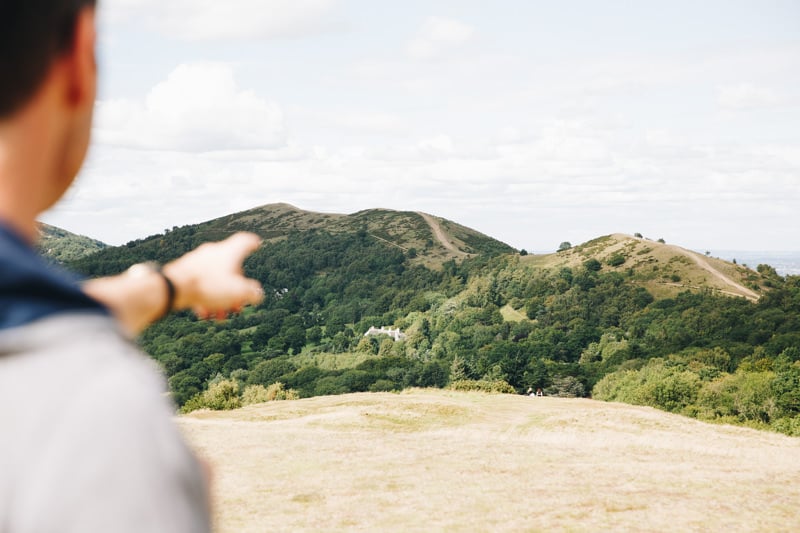
There are several Malvern Hills walks that follow a trail that undulates along a narrow ridge of hillocks. The path crosses over the 425-metre-high Worcestershire Beacon; clambers the iron age hill fort of British Camp, and drops in on a couple of great pubs.
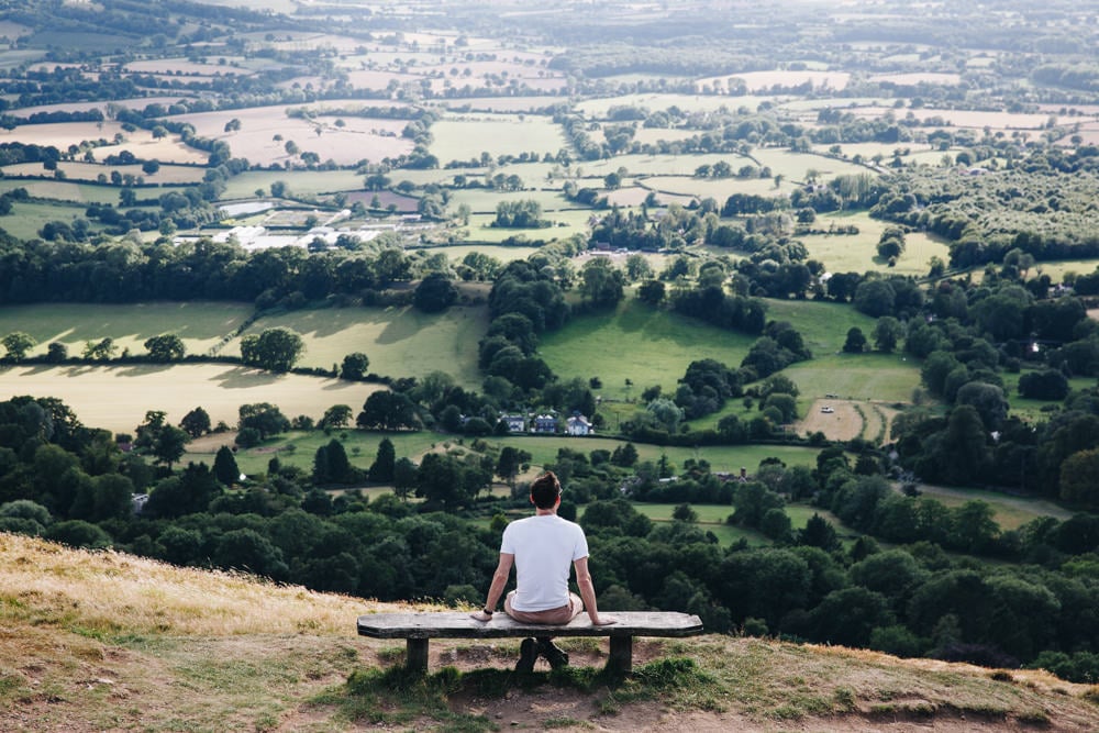
All the way along, views across the Severn Valley, Cotswolds Hills and Welsh Mountains combine to create a series of iconic vistas.
As the ridge is narrow, most routes involve walking back the way you came.
But our favourite of the Malvern Hills walk continues to Ledbury, where the gentle descent collects several notable sights including Eastnor Estate and a 12th-century church.
At 17 kilometres, it’s a long hike, but in our opinion, it’s the best of the walks in the Malvern Hills.
Read on for detailed instructions, a downloadable map and public transport links.
ALL UK GUIDES
Booking your trip via the links on this page (or on our book page) will earn us a small commission, at no extra cost to you. Thanks for your support – Paul & Mark.
IN THIS GUIDE
MALVERN HILLS HIKE
SUMMARY
A great walk along the Malvern Hill ridge to Ledbury
DISTANCE
7 kilometres
TIME
5 hours
ELEVATION
750 metres ascent
BEST TIME
Late-May to mid-July
DIFFICULTY
Medium – Nothing challenging but long
MALVERN HILLS WALK MAP
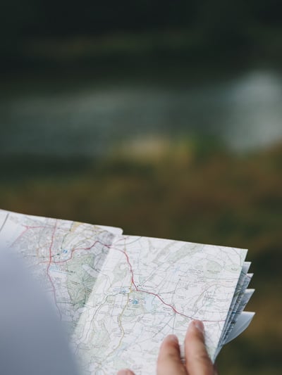
We have created a map for this Malvern Hills walk which includes step-by-step hiking instructions so you can follow your progress on the hike.
How to use this map / Click on the top left of the map to display the list of locations, then click on the locations to display further information. Click on the top right corner of the map to open a larger version in a new tab or the star to save to your Google Maps.
HOW TO GET TO THE TRAILHEAD AND BACK
This walk begins at North Quarry Car Park in Great Malvern and finishes in Ledbury.
The car park is one of several run by the Malvern Hills Trust. It opens from 6am to 11pm and costs £4.80 for the day.
There are 3 options to get back to the beginning of the walk after you finish in Ledbury.
01. TRAIN FROM LEDBURY TO GREAT MALVERN
Trains run roughly hourly between Ledbury and Great Malvern and take only 10 minutes. There are two stations in Great Malvern.
Malvern Link is closest to the North Quarry Car Park (a 20-minute walk). Great Malvern Station is a little further (a 30-minute walk) but the route is more interesting as it takes you through Great Malvern town centre.
Keep in mind, you need to add 3 kilometres to the entire 17-kilometre walk to get from Ledbury town centre to Ledbury train station, and from Great Malvern train station to North Quarry Car Park.
02. BUS FROM LEDBURY TO GREAT MALVERN
There are 2 bus routes between Ledbury and Great Malvern, route 675 and route 676. They are slower (30 minutes), less regular than the train, and the last one leaves about 5pm.
The benefit of the bus, is that they pick up and drop off in the town centres, so you don’t have to walk to the stations. You need to add 1.5 kilometres to the 17-kilometre walk to get from the bus stop in Great Malvern to North Quarry Car Park.
03. TAXI
If after hiking for almost 5 hours the idea of walking further and jumping on a bus or train does not appeal then you can get a taxi in Ledbury town centre or call Malvern Taxis or Smiths Taxis. The fee should be around £20 to £25.
PARKING IN LEDBURY
Alternatively, you could park in Ledbury Long Stay Car Park (£4 for up to 24 hours) and take the train or bus to Great Malvern in the morning before you start your walk. That way you can aim for a specific bus or train and don’t have to do it at the end of the day when you are tired.
HIKE INSTRUCTIONS
GREAT MALVERN TO WORCESTERSHIRE BEACON
Start at the North Quarry Car Park (P on the map) and take the trailhead at the southeastern end of the car park towards North Hill. Stick to the higher path as it heads through the forest.
After passing Ivy Scar rock, turn very sharply right (signed to North Hill) and complete a large zig-zag up the hill. Exiting the trees, join a wide track called the Lady Howard de Walden Drive. Follow it clockwise around North Hill for 90 degrees and then turn left and take the clear trail straight up to the top of Worcestershire Beacon (1).
This is the highest part of the walk in the Malvern Hills (425m) and the views on a fine day are excellent. Great Malvern sits in the foreground, the Severn Valley stretches out to the east, and the Cotswolds shimmer in the distance. The Brecon Beacons are to the west and if the conditions are just right, Snowdonia may just be visible.


WORCESTERSHIRE BEACON TO BRITISH CAMP
From here the trail heads south. Take either the sealed path around Summer Hill summit and past Beacon Road Car Park or the gravel track over the hill and along the top of the ridge until it meets the main B4218.
Cross the road and take the path heading up the ridge, keeping the public toilets on your right. The obvious trail now follows the top of the ridge over Perseverance Hill, Jubilee Hill and Pinnacle Hill to the top of Black Hill (2).
Follow the ridge down over another small summit and, meeting a wood, turn right and drop to the road (B4232) behind the Malvern Hills Hotel. Turn left on the road and pass the public toilets to reach the large British Camp Car Park (3).
At just over halfway, this is a great place to stop for a pint and munch on some bar snacks on their outdoor terrace.
BRITSH CAMP TO EASTNOR OBELISK
Take the path on the right side of the car park signposted to British Camp (Herefordshire Beacon) and wind your way to the 338-metre summit. Its strange shape is due to the man-made iron age fort that used to command the views of this area.
Having absorbed the vista, head south over Millennium Hill, turn left and zig-zag steeply down before turning right. Stick to the path that keeps the forest closely on your right and after a while, the path heads into the trees to Peacock Villa (4).
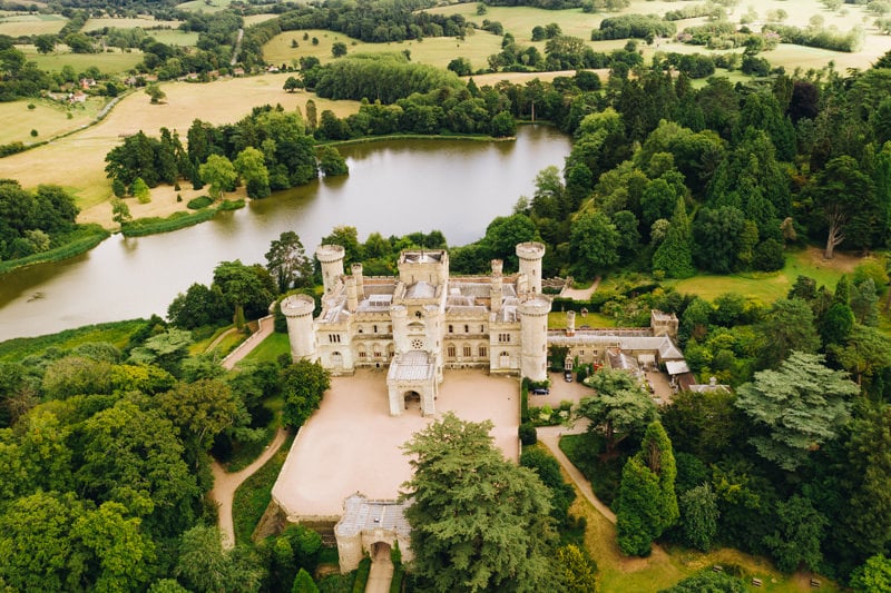
At the villa, turn left and then quickly right onto a wide track towards the prominent Eastnor Obelisk. Built in 1812 it grandly announces the Eastnor Estate, a famous British landmark.
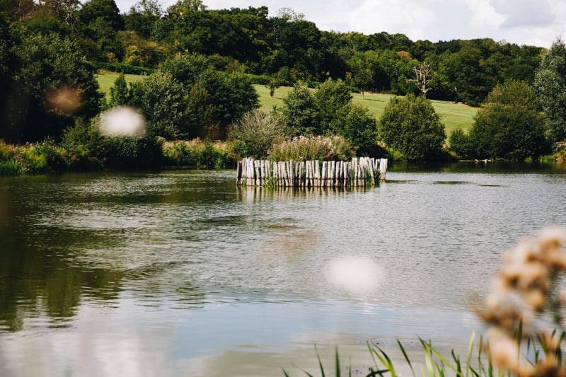
Continue downhill, following the wide track through the deer park until you reach a T-junction. Turn left and then quickly right along a grassy track till you reach a lake. Take another quick left and right, winding between two lakes and cross over a wooden bridge.
EASTNOR OBELISK TO LEDBURY
Now head diagonally left up the hill on the other side until you reach another sealed track. Turn left and follow the track out of the deer park to the main road. The entrance to Eastnor Castle is in front of you and well worth exploring if you have the time.
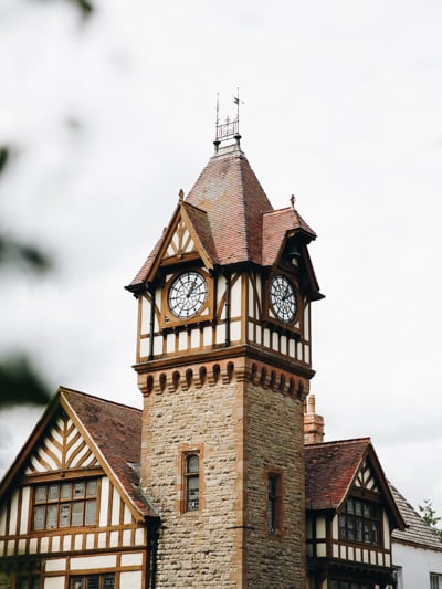
Turn right on the main road, follow it for 50 meters and then turn left down a narrow track that brings you to Eastnor Church (5).
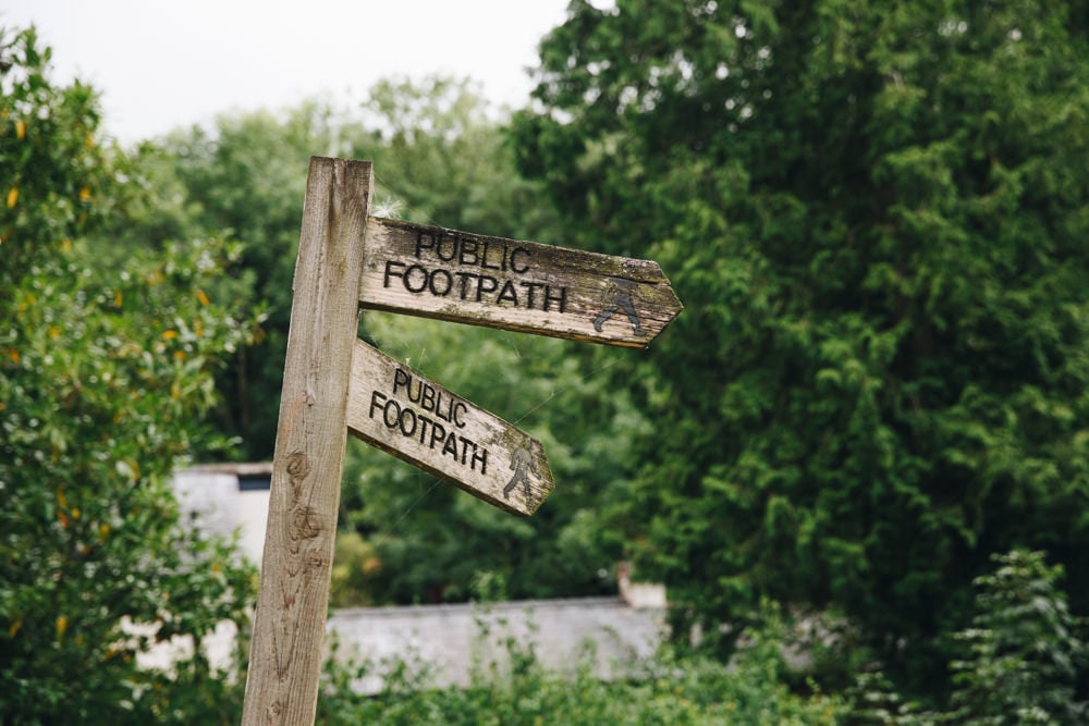
Turn right on the road, then after 50 metres turn left on a public footpath that heads across fields and through the trees to Ledbury.
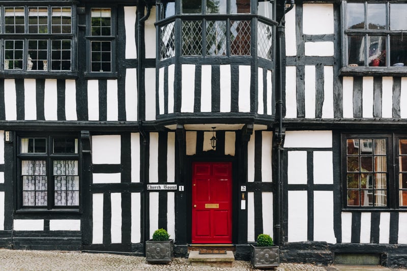
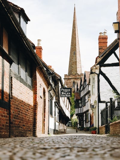
Ledbury is a charming English market town. Make sure to check out the lovely cobbled lane of Church Street before dropping in at the Prince of Wales for a pint.
Make your way back to Great Malvern either via train, bus or taxi.
WHERE NEXT?
Walking in the Malvern hills is one of the best things to do in Herefordshire and a great day out. But there’s a wealth of great experiences to be had within the UK. Here are some of our favourite guides to our home country.
ALL BRITAIN GUIDES
BEST OF THE UK
Best places to visit in the UK
Inspiring weekend break ideas in the UK
Outdoor adventures activities in the UK
Best of the London Christmas Lights
The best things to do in London at Christmas
MORE GREAT HIKES
Best walks in Northumberland
Stunning coastal walks in Dorset
The best route up Scafell Pike
STAY IN TOUCH
Stay up to day with our travels on Instagram and get semi-regular updates directly to your inbox via our newsletter.
INSTAGRAM // SUBSCRIBE
SHARE THIS GUIDE
If you found this guide useful, please share it to your social media or pin it to your Pinterest boards.
